
1 / 4
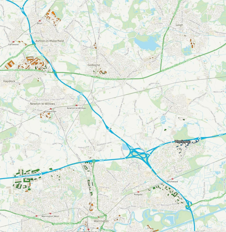
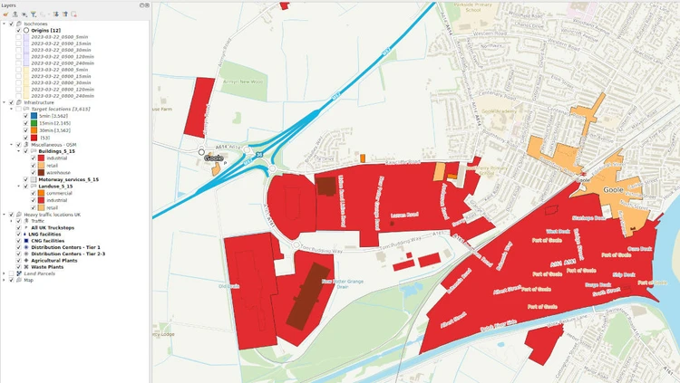
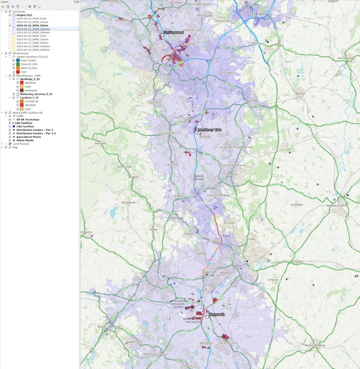
This follow-up phase to earlier logistics project interactive infrastructure QGIS map for Aegis energy was concerned with visualizing the accessibility of target infrastructure facilities, starting from company distribution origins across the UK.
This included isochrone polygons generated for different times in the day using the TravelTime QGIS plugin, and spatial as well as categorical classifications of target locations. Look at the QGIS layer legend to get a sense of the utility of the resulting information.
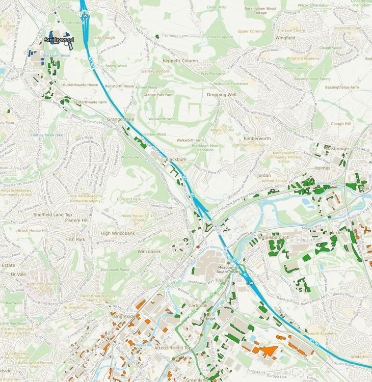
The basemap was based on Ordnance Survey Open Data and cadastral layers.